Photo: Magnific
Storms put the South on alert once again; see the weather forecast by region
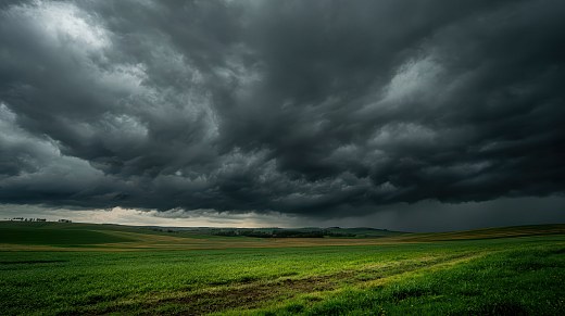
Photo: Magnific The action of an area of low atmospheric pressure, associated with the Low Level Jet (JBN), once again organizes instability over the South region this Tuesday (28), maintaining the risk of heavy rain...
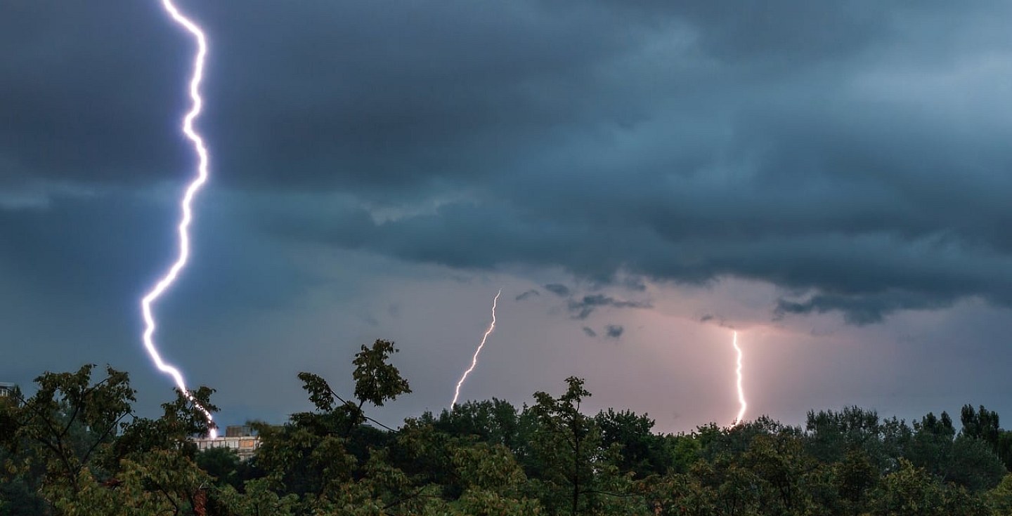
The action of an area of low atmospheric pressure, associated with the Low Level Jet (JBN), once again organizes instability over the South region this Tuesday (28), maintaining the risk of heavy rain and storms, mainly in Rio Grande do Sul.
Meanwhile, a mass of dry air continues to predominate in much of Brazil, favoring firm weather, heat and low levels of humidity, according to Climatempo.
- See first-hand everything about agriculture, livestock, economy and weather forecast: follow Canal Rural on Google News!
South
Tuesday will be marked by rain from the early hours of the day in the west, coast and center-south of Rio Grande do Sul. The forecast is for moderate to heavy rain, thunderstorms, isolated thunderstorms, electrical discharges and gusts of wind.
The scenario is dangerous for the west of Rio Grande do Sul, with an intensification of the showers in the morning in the southern half of the state and an advance of instability towards the south of Santa Catarina. Throughout the day, the rain continues in the northern half of Rio Grande do Sul and gains strength again during the night. In the west and south of Santa Catarina, instability also persists.
In Paraná, the weather remains firm, with a predominance of sun and rising temperatures in the afternoon.
Southeast
The dry air mass keeps the weather stable in São Paulo, Rio de Janeiro, Minas Gerais and Espírito Santo.
The day will be sunny between few clouds, with low air humidity in the interior of São Paulo and Minas Gerais. At night, the approach of a cold front may increase cloudiness in the extreme west and southwest of São Paulo, but no significant rain is expected.
Temperatures remain high in the afternoon.
Midwest
The weather remains firm in Mato Grosso do Sul, Goiás, Distrito Federal and most of Mato Grosso.
In the extreme north and northwest of Mato Grosso, humidity coming from the Amazon favors increased cloudiness and isolated showers.
The highlight continues to be the heat in the afternoon and the low levels of air humidity. There is a warning for humidity between 12% and 20% in the north of Goiás and the Federal District.
Northeast
The instability decreases on the Northeast coast, but still causes light and temporary rain between Salvador and the northern coast of Bahia, in addition to the coast of Sergipe and Alagoas.
There is also a forecast of light rain on the coast of Maranhão, Piauí and Ceará.
In the interior of the region, the dry air mass keeps the weather steady, with sun, heat and low humidity, especially in the north and center-west of Bahia, much of Maranhão, Piauí, Ceará and west of Pernambuco.
There is a warning for humidity between 12% and 20% in western Bahia, Piauí, southern Maranhão, western Paraíba and Pernambuco.
North
Heat and humidity maintain irregularly shaped areas of instability over the North Region.
Light to moderate rain is forecast in much of Amazonas, Roraima and in the north and southwest of Pará. In Amapá, the rain occurs with greater intensity, while in Acre there is the possibility of weak and isolated showers.
Tocantins, Rondônia and part of Pará remain under the influence of dry air, with firm weather, heat and conditions favorable to fires. Tocantins remains on alert for low humidity, with rates between 12% and 20%.
The post Storms put the South on alert once again; see the weather forecast by region appeared first in Canal Rural.
Source: Canal Rural
This story was originally published by Canal Rural. Visit the original publication for further details.
Open original publication