SÃO PAULO, SP (FOLHAPRESS) - The chance of a super El Niño increased, reaching 81% between October and December. The information was released this Thursday (9) by Noaa (National Oceanic and Atmospheric Administration) of the United States. The agency's last forecast, from June, was a 63% chance of a very strong event between November this year and January 2027.
Chance of a very strong El Niño at the end of the year rises to 81%, says American agency
SÃO PAULO, SP (FOLHAPRESS) - The chance of a super El Niño increased, reaching 81% between October and December. The information was released this Thursday (9) by Noaa (National Oceanic and Atmospheric Administration)...
Last month, the agency confirmed the beginning of the climate phenomenon, characterized by the above-average warming of the waters of the equatorial Pacific Ocean - unlike La Niña, which occurs when the surface in this region is colder than normal.
"El Niño has intensified in the last month," says Noaa, one of the world's leading authorities on climate, meteorology and ocean science. The agency estimates that this year's El Niño could be one of the most intense since records began in 1950.
Although it can influence extreme weather events, a stronger El Niño does not necessarily mean that it will have more serious consequences. But this classification increases the chances that the most characteristic impacts of the phenomenon will occur, with more intense storms, droughts or heat waves, depending on the region of the planet.
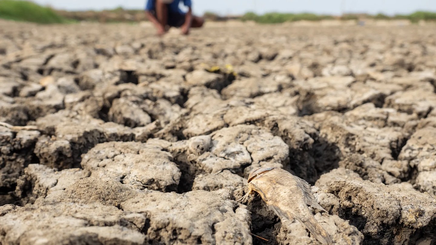
In Brazil, the phenomenon tends to cause drought in the North, Northeast, Center-West and part of the Southeast, and more rain in the South. Therefore, with the new Noaa forecast, the chances of an exceptionally hot summer in a large part of the country increase.
"El Niño ends up favoring this intensity in some regions that are more sensitive to the change in atmospheric circulation that it generates", explains meteorologist Tércio Ambrizzi, director of IEA-USP (Institute of Energy and Environment at the University of São Paulo).
"It also ends up favoring the increase in the number of heat waves, although global warming itself is already contributing to this", highlights Ambrizzi, who researches the phenomenon.
A very strong El Niño means a warming equal to or greater than 2°C, compared to the historical average, of the surface waters of the Pacific Ocean in a region close to the Equator.
The agency also estimates that the phenomenon should last at least until the beginning of autumn, in April of next year.
Read Also: US prepares for prolonged confrontation with Iran in Hormuz
Source: Noticias ao Minuto - Mundo
This story was originally published by Noticias ao Minuto - Mundo. Visit the original publication for further details.
Open original publication