SÃO PAULO, SP (UOL/FOLHAPRESS) - El Niño has an 81% chance of reaching very strong intensity between October and December, a scenario that increases the risk of floods, droughts, heat waves and forest fires in Brazil, according to a bulletin prepared by seven federal agencies.
Agencies point to 'very strong' El Niño and risk of disasters in Brazil
SÃO PAULO, SP (UOL/FOLHAPRESS) - El Niño has an 81% chance of reaching very strong intensity between October and December, a scenario that increases the risk of floods, droughts, heat waves and forest fires in Brazil,...
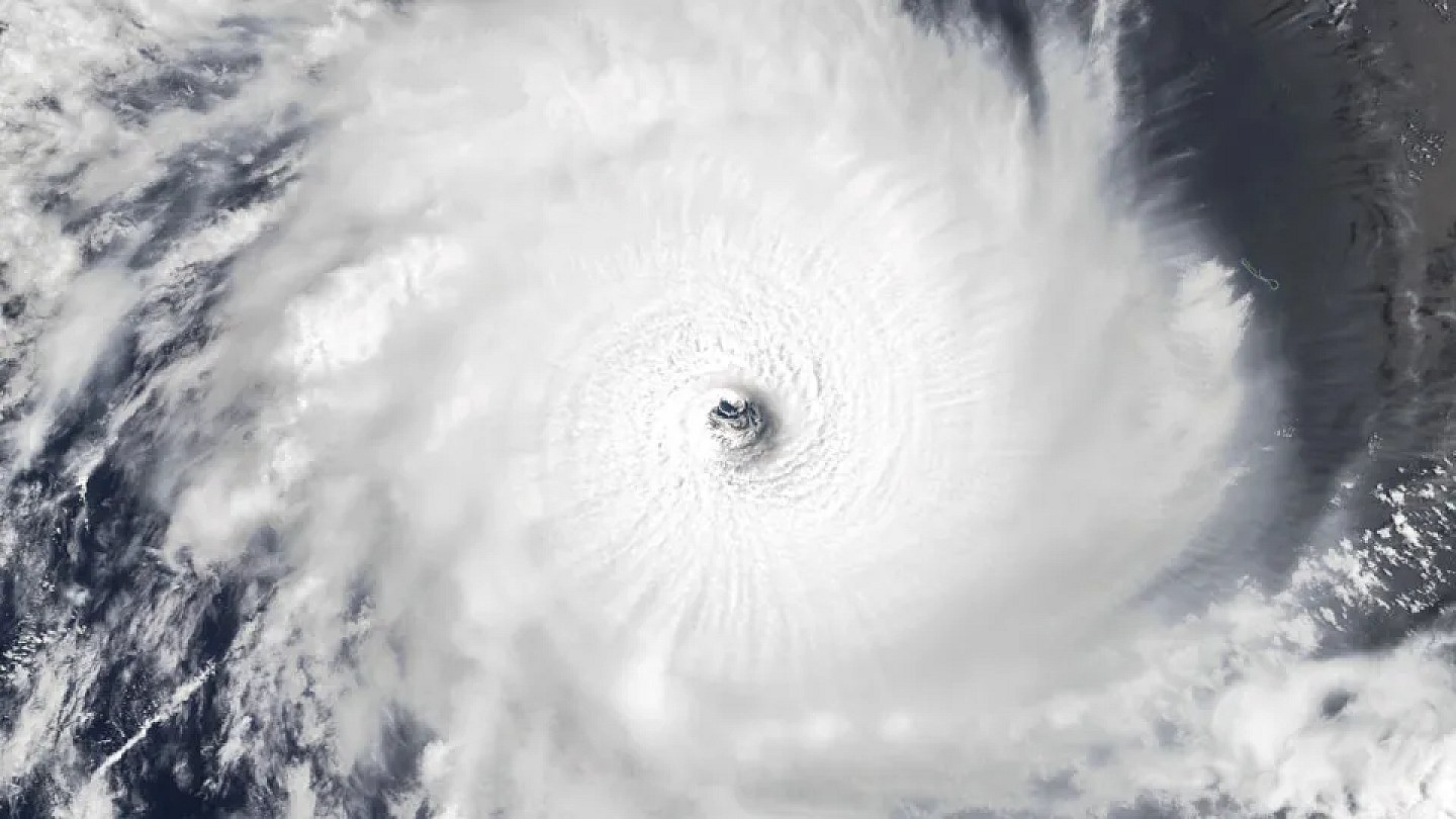
The phenomenon is expected to intensify throughout the second half of 2026. Projections indicate that El Niño will remain active at least until the beginning of 2027 and may present temperature anomalies greater than 2°C in the surface waters of the Equatorial Pacific between spring and the beginning of summer.
The forecast for the quarter from August to October points to above-average rainfall in the South and below average in much of the center-north of the country. Temperatures are expected to remain above normal across practically the entire national territory, favoring episodes of extreme heat, low humidity and fires.
The bulletin is the result of a joint action by seven federal institutions. Participating are the National Institute of Meteorology, the National Institute for Space Research, the National Agency for Water and Basic Sanitation, the National Center for Monitoring and Alerting of Natural Disasters, the Geological Survey of Brazil, the National Secretariat for Protection and Civil Defense and the Management and Operational Center for the Amazon Protection System.
Although it forms in the Pacific Ocean, El Niño changes atmospheric circulation and the distribution of rainfall in different parts of the planet. In Brazil, its effects vary depending on the region and can be influenced by other meteorological systems.
The intensity of El Niño does not alone determine the severity of the effects in Brazil. The panel highlights that the distribution and size of the impacts will depend on the evolution of atmospheric and oceanic conditions over the next few months.
The main risk for the South region is the occurrence of major floods. Unlike the scenario recorded at the beginning of El Niño in 2023, the region has practically no water deficit to be replaced, which increases the possibility of flooding in the face of new periods of intense rain.
Santa Catarina and Rio Grande do Sul may record flows between average and above average in August. The projection indicates a greater risk of flooding in both states.
The number of municipalities in a situation of severe drought increased from 38 to 55. The partial data considers the quarter from May to July and represents a worsening compared to the immediately previous period, from April to June.
The situation is still less serious than that observed at the beginning of El Niño in 2023. At that time, 239 municipalities were facing severe drought and another ten were experiencing extreme drought.
The Northeast begins the current phenomenon in a more unfavorable situation than in 2023. Moderate drought affected around 40% of the region in June this year, compared to 10% in the same month of 2023, with possible effects on supply, agriculture and the availability of water for livestock.
In the North region, the drought is developing, but most rivers still have levels close to normal. Without a significant replacement of rainfall, however, levels and flows may experience more intense drops in the coming weeks, compromising different uses of water.
The Paraguay River basin, in the Center-West, presents the most critical hydrological situation in the country. Severe to extreme drought conditions prevail, worsened by successive water deficits accumulated over the last decade.
In the Southeast, 76% of the region was under some level of drought in June. The percentage is higher than that recorded in the same period in 2023, and the situation could quickly worsen if the next rainy season is delayed or has insufficient volumes.
The risk of fire is expected to increase mainly in the Midwest and North between August and October. The areas classified as high alert extend mainly over Mato Grosso and much of the Amazon region.
Tocantins, Pará, Maranhão and Mato Grosso are among the states with the prospect of intense fires. The alert also covers the region formed by parts of Amazonas, Acre and Rondônia.
Dry weather could favor the harvest of second-crop corn and cotton in the North, Northeast and Central-West. In the Central-West, the forecast is also favorable to the harvest of sorghum and later crops. On the other hand, the lack of rain and high temperatures can increase the demand for irrigation, harm pastures and make preparation for the next harvest difficult.
In the South, greater water availability can benefit winter crops and the planting of corn and soybeans. Persistent or very heavy rain, however, increases the risk of diseases caused by fungi, delays in harvesting and replanting in affected areas.
States and municipalities were advised to review their contingency plans. The bulletin recommends reinforcing monitoring, risk communication and the preparation of response teams, with priority given to the most vulnerable areas and populations.
The population must follow official warnings and know safe places and escape routes in the region where they live. Civil Defense also recommends keeping your registration updated to receive warnings about extreme events.
Source: Noticias ao Minuto
Next recommended read
This story was originally published by Noticias ao Minuto. Visit the original publication for further details.
Open original publication