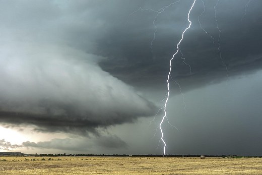
AI-generated image for Canal Rural
A cold front could turn into a cyclone and bring storms to the South; see the weather forecast
AI-generated image for Canal Rural According to Climatempo, the approach of a cold front, associated with the formation of a low pressure area that should evolve into an extratropical cyclone over the ocean, increases...
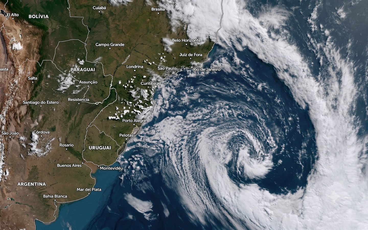
According to Climatempo, the approach of a cold front, associated with the formation of a low pressure area that should evolve into an extratropical cyclone over the ocean, increases the risk of storms in southern Brazil this Thursday (6).
While the rain gains strength in the region, dry weather and low humidity continue to prevail in much of the Center-West, Southeast, Northeast and North of the country.
- See first-hand everything about agriculture, livestock, economy and weather forecast: follow Canal Rural on Google News!
South Region
The action of the Low Level Jet (JBN) and a trough at medium levels favors rain showers in the north and northwest of Paraná from early on, with moderate to strong intensity and thunderstorms.
In the morning, instability increases on the coast due to maritime humidity.
Throughout the day, the approach of a new cold front, associated with the formation of a low pressure area between Uruguay and the south of Rio Grande do Sul, which is expected to evolve into an extratropical cyclone over the ocean, intensifies instability in Rio Grande do Sul, center-west of Santa Catarina, south and west of Paraná, with a risk of storms, intense gusts of wind and hail.
There is a chance of high accumulations in Rio Grande do Sul and in areas of Santa Catarina and Paraná, where the situation is dangerous.
In part of the region, the day remains pleasant, but in the north of Paraná and the east of the states, thermometers rise more in the afternoon.
Next Friday (7), the cold front continues to advance through the South region, keeping the weather unstable in Santa Catarina and Paraná, while the rain loses strength in Rio Grande do Sul. The entry of a colder air mass should also cause a drop in temperatures, especially in the border areas with Uruguay.
Southeast Region
The weather starts out steady across much of the region, but the transport of low-level heat and moisture, along with a mid-level trough, increases instability throughout the day.
From early on, there are isolated showers in the west, southwest and central region of São Paulo, which spread throughout the morning to the northeast, east, Campinas, Sorocaba, the Metropolitan Region of São Paulo, the north coast and Baixada Santista.
During the day, instability also advances to the extreme south of Minas Gerais and Rio de Janeiro, and, in the late afternoon and evening, new areas of rain reach the south and southwest of São Paulo.
Temperatures remain high and humidity remains low in the north of São Paulo, Triângulo Mineiro, north and center-west of Minas Gerais.
Midwest Region
The transport of heat and humidity favored by the JBN, added to the low pressure in the interior of the continent and the advance of the cold front through the South, increases the conditions for rain showers in Mato Grosso do Sul, mainly in the south, southeast and southwest, with moderate to strong intensity from early on, lightning and the risk of thunderstorms in the extreme south.
By the end of the day, it will rain again in the south of the state.
In other areas, the weather remains firm, with low levels of humidity during the afternoon, mainly in Goiás, Distrito Federal, Mato Grosso and in the extreme north and east of Mato Grosso do Sul.
In summer areas, temperatures remain high.
Northeast Region
The circulation of maritime winds maintains the arrival of moisture in some parts of the eastern strip.
Light rain is forecast between the coast of Rio Grande do Norte, Paraíba and Pernambuco. Between Porto Seguro and Sergipe it also rains, but with less intensity.
Inland, the dry air mass maintains firm weather, sun and low humidity, mainly in the north and center-west of Bahia, center-south of Maranhão, Piauí and Ceará, in addition to the west of Pernambuco and Paraíba.
North Region
The heat and high humidity continue to favor rain showers over the western and northern Amazonas, Roraima and northern Amapá, with moderate to heavy intensity.
In other areas of Amapá, Acre, Rondônia, Pará and south and central-eastern Amazonas, firm weather predominates, with sun between few clouds, high temperatures and low humidity in the afternoon, mainly in Tocantins and southern Pará.
The post Cold front could turn into a cyclone and bring storms to the South; see the weather forecast appeared first on Canal Rural.
Source: Canal Rural
Next recommended read
This story was originally published by Canal Rural. Visit the original publication for further details.
Open original publication