Photo: Pixabay
Rain gains strength again in the South before cold front and extratropical cyclone
Photo: Pixabay The action of a low pressure area keeps the weather unstable in part of the South region this Wednesday (5), while a mass of dry air continues to predominate over much of Brazil. According to Climatempo,...
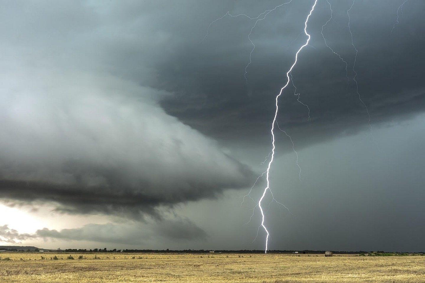
The action of a low pressure area keeps the weather unstable in part of the South region this Wednesday (5), while a mass of dry air continues to predominate over much of Brazil.
According to Climatempo, heat and low humidity remain prominent in the Central-West, Southeast and interior of the Northeast, but instability is expected to gain strength on Thursday with the approach of a cold front and an extratropical cyclone in the south of the country.
Check the forecast in each region:
South Region
The day begins with firm weather in much of the region, but, from the morning onwards, the presence of a low pressure area in the interior of the continent maintains rain showers in the north of Rio Grande do Sul and in the interior of Santa Catarina, with moderate to heavy intensity.
In the southwest and west of Rio Grande do Sul, in the south and on the coast, instability also increases. Throughout the day, the rain continues in the west, northwest, southwest and south of the state, in addition to the Central, Vales and Costa Doce regions.
The instability is also advancing over Santa Catarina and the center-south of Paraná, with moderate to strong showers, including in the west of Paraná.
Until the end of the day, the rain continues in the south, Campanha, southwest, coast and Metropolitan Region of Porto Alegre, in the center-east of Santa Catarina and in the west of Paraná. Temperatures rise more in the west of the states and in the northwest and north of Paraná.
For Thursday (6), the forecast indicates an increase in instabilities with the action of the Low Level Jet (JBN) and the approach of a cold front associated with the formation of an extratropical cyclone. The scenario favors more intense rain, isolated thunderstorms, gusts of wind and the possibility of hail in Rio Grande do Sul, Santa Catarina and southern Paraná.
Southeast Region
The weather remains firm throughout practically the entire region, with sun between few clouds.
Only on the coast of Espírito Santo and in the northeast of Minas Gerais does maritime humidity favor weak and isolated rains. In the west of São Paulo, a trough at medium levels can cause isolated showers.
The dry air mass maintains low humidity levels in São Paulo, Triângulo Mineiro, central-south and western Minas Gerais and the interior of Rio de Janeiro, with values between 20% and 30%.
Temperatures remain high, between 3°C and 5°C above average in São Paulo, central-south Rio de Janeiro, south and Triângulo Mineiro.
Midwest Region
The weather remains predominantly dry in the region.
Only the west, south and southwest of Mato Grosso do Sul may experience moderate to heavy rain showers due to the action of a low pressure area in the interior of the continent and a trough at medium levels, with thunderstorms.
In other areas, the sun, afternoon heat and low relative humidity predominate, mainly in Goiás, Federal District, northern and central-eastern areas of Mato Grosso and eastern Mato Grosso do Sul.
Where the summer is active, temperatures are between 3°C and 5°C above average.
Northeast Region
Instabilities decrease on part of the east coast, but winds over the ocean continue to bring moisture to some points on the east coast.
Between the coast of Rio Grande do Norte and Sergipe, in addition to the south of Bahia, there is moderate to heavy rain. In the coastal strip of Maranhão, Piauí and Ceará, rain is light to moderate.
Inland, the dry air mass maintains firm weather, sun and low humidity, especially in the center-west of Bahia, much of Maranhão, Piauí and Ceará, as well as western Pernambuco.
Wind gusts vary between 40 and 50 km/h across much of the region.
North Region
The heat and high humidity maintain isolated showers of rain in the west and north of Amazonas, in Roraima and in isolated points in the northwest and coast of Pará, with moderate to strong intensity.
In the west of Rondônia it can also rain weakly and locally.
In Tocantins, Acre, Amapá, other areas of Pará and in the central-east and south of Amazonas, firm weather prevails, with few clouds.
Temperatures rise in the afternoon and humidity remains low in Tocantins and the southern part of Pará.
The post Rain gains strength again in the South before cold front and extratropical cyclone appeared first in Canal Rural.
Source: Canal Rural
Next recommended read
This story was originally published by Canal Rural. Visit the original publication for further details.
Open original publication