Image generated for AI for Canal Rural
The arrival of a new cold front over the weekend drops temperatures and brings heavy rain to part of the country
Image generated for AI for Canal Rural The approach of a new cold front will change the weather in part of Brazil this weekend. According to Climatempo, Friday (10) will still be marked by firm weather in a large part...
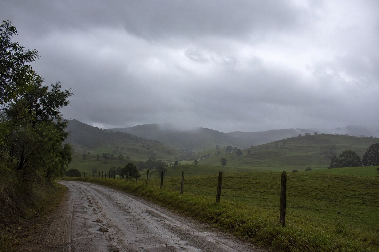

The approach of a new cold front will change the weather in part of Brazil this weekend. According to Climatempo, Friday (10) will still be marked by firm weather in a large part of the country, but the system advances through the South on Saturday (11) and causes rain in areas of the Southeast on Sunday (12), including the state of São Paulo.
South
Friday will see increasing cloud cover in Rio Grande do Sul. The rain begins in the west, southwest, northwest and central regions of the state and gains strength throughout the day, reaching Santa Catarina and the extreme south of Paraná. There is a risk of storms between the northwest of Rio Grande do Sul and the west of Santa Catarina.
On Saturday, the cold front keeps the weather unstable in most of the South Region. Moderate to heavy rain showers are expected in Santa Catarina, the south and southwest of Paraná and the north, northwest and central regions of Rio Grande do Sul, with the possibility of isolated thunderstorms. At night, a low pressure system reinforces instability, mainly between Paraná, Santa Catarina and the north coast of Rio Grande do Sul.
On Sunday, the rain continues, especially in Paraná, where there is the potential for moderate to heavy precipitation from the early hours of the day. On the coast of Santa Catarina and Rio Grande do Sul, the maritime influence maintains light to moderate rain, while a new mass of polar air stabilizes the weather in the interior of Rio Grande do Sul and contributes to lower temperatures.
Southeast
Friday will be solid weather across practically the entire Southeast Region. The action of a high pressure area keeps the skies open in São Paulo, Minas Gerais and Rio de Janeiro. Only Espírito Santo and eastern Minas Gerais may record greater cloudiness, with no significant rain forecast.
On Saturday, the weather remains stable in most of the region. However, between late afternoon and evening, the approach of the cold front causes light to moderate rain in the south of São Paulo. Temperatures rise in the afternoon due to the pre-frontal condition, while relative humidity remains low in the interior of São Paulo, in Minas Gerais and in areas of Rio de Janeiro and Espírito Santo.
On Sunday, the cold front moves in and changes the scenario. There is a forecast of moderate to heavy rain showers, accompanied by thunderstorms, in the south, coast, capital of São Paulo, Vale do Paraíba, as well as areas in the east, northeast, southwest and west of São Paulo. The rain also reaches the south of Minas Gerais and, between the afternoon and evening, advances towards the south and the Metropolitan Region of Rio de Janeiro. The cloudiness reduces temperatures in much of São Paulo and in the center-south of Rio de Janeiro.
São Paulo
In the state of São Paulo, Friday will be sunny with few clouds and firm weather in all regions. The mornings remain cold, especially in the center-south and east of the state, while temperatures gradually rise during the afternoon. In the capital, the maximum can reach 26°C.
Saturday will still be stable weather in most of the state. The change only occurs between the end of the afternoon and the evening, when the cold front begins to cause rain in the south of São Paulo. In the capital, the day remains without rain, with a maximum of up to 28°C.
On Sunday, the cold front advances over the state and causes rain in a large part of São Paulo. The showers can be moderate to strong, with thunderstorms, reaching the south, coast, capital, Vale do Paraíba, as well as the east, northeast, west and northwest regions. In the city of São Paulo, rain has been forecast since dawn, persisting throughout the day, with a drop in temperatures and a maximum of around 21°C.
Midwest, Northeast and North
In the Central-West, Saturday will still be marked by dry and hot weather, with the exception of the south and southwest of Mato Grosso do Sul, where the approach of the cold front favors rain showers. On Sunday, instability advances across the state and also affects areas of Mato Grosso, while Goiás and the Federal District remain under the influence of dry air.
In the Northeast, the rain loses strength over the weekend and is concentrated mainly between the coast of Rio Grande do Norte, Paraíba and Pernambuco. In the interior, dry weather, heat and low relative humidity continue to prevail.
In the North Region, the heat and high availability of humidity maintain conditions for rain showers between Amazonas, Acre, Roraima, Amapá, Rondônia and part of Pará throughout the weekend. In Tocantins and areas of southern Pará, the weather remains firm, with heat and low humidity.
The post Arrival of a new cold front over the weekend drops temperatures and brings heavy rain to part of the country appeared first in Canal Rural.
Source:
Canal Rural