Photo: Pixabay
Brazil will have a week divided between a cold front and extreme heat; fire risk grows in different regions
Photo: Pixabay The week between July 20th and 24th will be marked by different weather conditions in Brazil. While a cold front causes persistent rain and storms in the South, an atmospheric blockage keeps the weather...
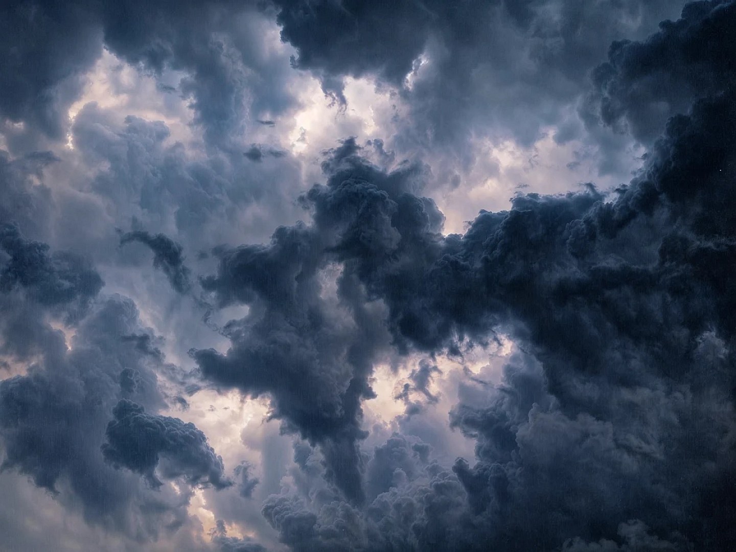
The week between July 20th and 24th will be marked by different weather conditions in Brazil. While a cold front causes persistent rain and storms in the South, an atmospheric blockage keeps the weather hot and dry in much of the Southeast and Midwest, increasing the risk of fires.
In the North and Northeast, rain continues to be concentrated in specific areas, while other locations continue to experience intense heat and low air humidity.
- See first-hand everything about agriculture, livestock, economy and weather forecast: follow Canal Rural on Google News!
South Region
The action of a cold front, associated with a low pressure system that should evolve into an extratropical cyclone near the coast of Uruguay, keeps the weather unstable in the South Region. Rio Grande do Sul will be the most affected state, with persistent and voluminous rain, mainly in the South half, Missões, Oeste, Vales, central region and Metropolitan region of Porto Alegre.
There is a risk of flooding, flash floods and rising river levels. In Santa Catarina and Paraná, the rain advances throughout the week, especially in the west of Santa Catarina and southwest of Paraná. The storms may be accompanied by hail and wind gusts exceeding 100 km/h until Wednesday.
Accumulations can reach between 100 and 150 millimeters in the center-north of Rio Grande do Sul, west of Santa Catarina and southwest of Paraná, making field work difficult and increasing the risk of landslides.
Firm weather in the Southeast
Atmospheric blocking, associated with a mass of dry air and a high pressure system over the South Atlantic, keeps the weather steady in most of the region. The summer continues over São Paulo, Triângulo Mineiro, southern Minas Gerais and central-southern Rio de Janeiro, favoring sunny days, above-average temperatures and low levels of relative humidity.
Only the coast of Espírito Santo and the northeast of Minas Gerais have a forecast of light and isolated rain. From Wednesday onwards, however, the weather changes in São Paulo, with storms expected and accumulations of between 60 and 70 millimeters until Friday, which could harm work in the field.
In other areas, the heat remains intense, with maximum temperatures above 37°C in the northwest of Minas Gerais, increasing the risk of fire outbreaks.
Weather in the Midwest
Firm weather prevails in practically the entire region due to the action of a mass of dry air reinforced by atmospheric blockage. The summer continues in Mato Grosso do Sul, south of Goiás and south of Mato Grosso, maintaining above average temperatures and low air humidity.
Only the extreme north and northwest of Mato Grosso can record isolated showers of rain. As of Wednesday, areas of Mato Grosso do Sul will receive rain again, with a risk of storms and between 60 and 70 millimeters accumulated in the center-south of the state until Friday.
In other states, temperatures can exceed 40°C in the north of Mato Grosso do Sul, Mato Grosso and Goiás, increasing the potential for fire outbreaks.
Northeast
The circulation of moisture from the ocean maintains persistent rain between the coast of Bahia and the coastal strip between Sergipe and Rio Grande do Norte. There is also a forecast of more intense showers on the coast of Maranhão, Piauí and Ceará.
In the interior of the region, dry weather predominates, with high temperatures, low humidity and moderate gusts of wind. The most significant accumulations are restricted to the coast, between 20 and 30 millimeters.
Western Bahia, central-southern Maranhão and central-southern Piauí remain alert for the increased risk of fires, due to relative air humidity below 30% and temperatures between 39°C and 40°C.
Heat in the North
The heat and high humidity continue to favor rain showers and isolated thunderstorms in Amazonas, Roraima, Amapá and the north, northwest and coast of Pará.
In Acre and Rondônia, rains are expected to occur lightly, with accumulations of between 10 and 15 millimeters, just enough to increase air humidity. In southeastern Amazonas, southern Pará and Tocantins, the weather remains firm, with high temperatures and low humidity.
In the south of Pará and Tocantins, where there is no significant rain forecast, temperatures could exceed 39°C and 40°C, keeping the risk of fire outbreaks high throughout the week
The post Brazil will have a week divided between cold front and extreme heat; Fire risk grows in different regions appeared first in Canal Rural.
Source: Canal Rural
This story was originally published by Canal Rural. Visit the original publication for further details.
Open original publication