Friday (7) should be marked by strong winds, mainly in the Southeast. Gusts between 90 and 110 km/h are predicted for areas on the coast of São Paulo, Serra do Mar, Vale do Paraíba, Costa Verde and south of Rio de Janeiro. The situation is related to the action of a cold front associated with an extratropical cyclone that intensifies over the South Atlantic.
Bomb cyclone could form this Friday; Southeast will have greater risk
Friday (7) should be marked by strong winds, mainly in the Southeast. Gusts between 90 and 110 km/h are predicted for areas on the coast of São Paulo, Serra do Mar, Vale do Paraíba, Costa Verde and south of Rio de...
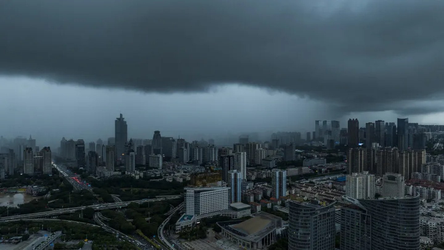
The system formed between Uruguay and Rio Grande do Sul and is expected to advance quickly towards the high seas. Even far from the continent, it will continue to influence weather conditions on the coast of the South and Southeast due to the difference in pressure between the ocean and areas close to the coast.
The cyclone may still be classified as a “bomb cyclone” if a very rapid drop in pressure in its center is confirmed over approximately 24 hours. The definition depends on the evolution of the system.
This type of cyclone occurs when an area of low pressure intensifies quickly, which can cause more severe weather conditions, with strong winds, intense rain and sudden changes in temperature.
In the Southeast, the passage of the cold front over a mass of warm air should increase wind speeds. In São Paulo, gusts can reach 80 km/h in the capital and exceed 90 km/h in the south of the Metropolitan Region. On the coast of São Paulo, Serra do Mar, Vale do Ribeira, Baixada Santista, Vale do Paraíba and areas of Campinas and Sorocaba, winds can reach between 90 and 110 km/h.
In the capital of São Paulo, Friday will have many clouds and heavier rain between the afternoon and evening, with the possibility of thunderstorms. The maximum should be close to 27°C. In Rio de Janeiro, gusts can reach 90 km/h, while Costa Verde, the south of Rio de Janeiro and the Serrana region can record winds of 70 to 90 km/h. The combination of hot and cold air can cause heavy rain in a short period of time, lightning and winds that can knock down trees, interrupt power and damage fragile structures.
In the South, Paraná and Santa Catarina will have heavy rain, thunderstorms and gusts. In Paraná, winds can reach or exceed 90 km/h in the east. In Rio Grande do Sul, the rain loses strength throughout the day, while the cold air drops temperatures. In Porto Alegre, the minimum can reach 5°C and the maximum can reach 16°C.
The waves also increase on the South coast this Friday and advance towards the Southeast during Saturday (8) and Sunday (9).
In Minas Gerais, the south and Zona da Mata may have gusts of 70 to 80 km/h. On Saturday, Paraná and Santa Catarina may still experience rain and hail.
In the Center-West, Mato Grosso do Sul will have rain and thunderstorms, with winds of 50 to 70 km/h and the possibility of reaching 90 km/h in the north. Campo Grande can reach 30°C. In other areas, the weather remains hot and dry. Cuiabá can reach 37°C, while Brasília should register around 30°C.
In the Northeast, rain is concentrated on the coast, between Rio Grande do Norte and Bahia, as well as parts of Maranhão and Ceará. Inland, dry and hot weather prevails, with Teresina reaching 36°C.
In the North Region, the heaviest rains are concentrated in Amazonas and Roraima. Acre, Rondônia, Pará and Amapá may experience temporary showers. In other areas, the weather remains firm and hot, with Palmas between 20°C and 36°C.
Source: Noticias ao Minuto
Next recommended read
This story was originally published by Noticias ao Minuto. Visit the original publication for further details.
Open original publication