Photo: Pixabay
Firm weather prevails, but a new cold front approaches from the South; know where it rains
Photo: Pixabay After days of instability, Friday (31) will be marked by the predominance of firm weather in much of Brazil, according to Climatempo's forecast. In the South, a high pressure system guarantees sun and few...
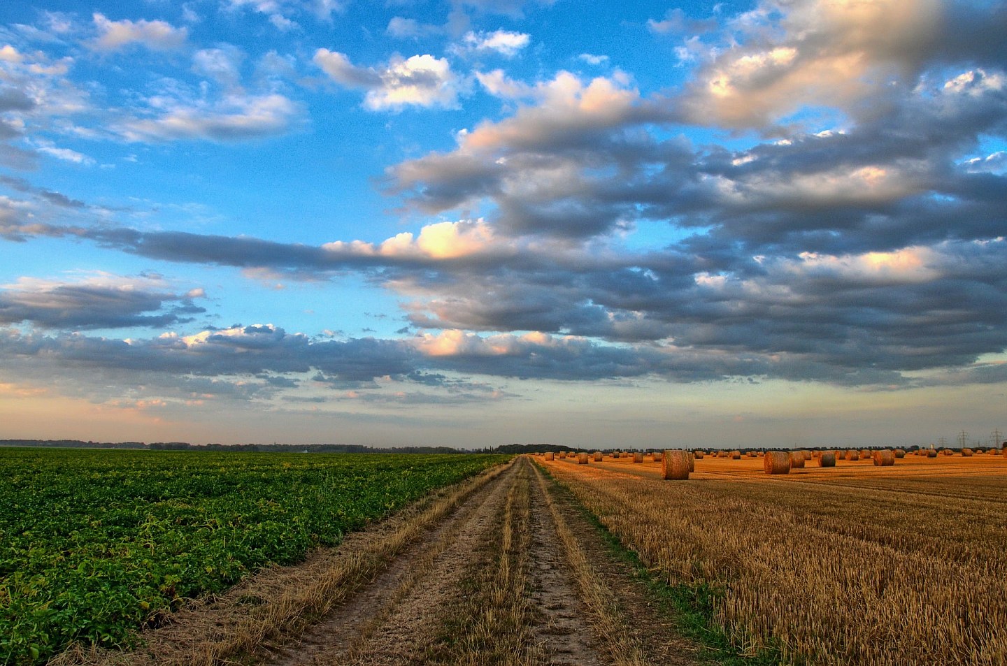
After days of instability, Friday (31) will be marked by the predominance of firm weather in much of Brazil, according to Climatempo's forecast. In the South, a high pressure system guarantees sun and few clouds, but the approach of a new cold front will increase cloudiness in Rio Grande do Sul until the end of the day.
- See first-hand everything about agriculture, livestock, economy and weather forecast: follow Canal Rural on Google News!
In the rest of the country, the highlight continues to be the dry air in the interior and the rain concentrated in areas of the coast of the Northeast and the North region.
South
A high pressure system over the ocean keeps the weather steady in practically the entire South Region, with sun between few clouds.
In the coastal strip, the circulation of maritime humidity favors light and isolated rain. Until the end of the day, the approach of a new cold front could increase cloudiness and cause very isolated rains in the west and in the Campanha of Rio Grande do Sul.
Temperatures rise gradually, but the day remains pleasant on the coast and in the south of Rio Grande do Sul. Between the coast of Rio Grande do Sul and Santa Catarina, wind gusts can vary between 50 and 70 km/h, leaving the sea rough.
Southeast
The cold front advances across the ocean and influences the coast of Espírito Santo and the northeast of Minas Gerais, where light and isolated rain is forecast.
It may also rain lightly in parts of the coast of São Paulo and Rio de Janeiro. In the rest of the region, the weather remains firm, with sun between few clouds.
Temperatures rise during the afternoon, while relative humidity remains low in Minas Gerais, in the interior of Rio de Janeiro and in the northern half of São Paulo. At the end of the Triângulo Mineiro and in the northwest of Minas Gerais, rates can be between 12% and 20%.
Midwest
Dry weather continues to prevail throughout the Central-West Region, with sun between few clouds and heat in the afternoon.
Relative air humidity remains low in Goiás, Distrito Federal, Mato Grosso and in the northern half and central region of Mato Grosso do Sul, especially in Goiás, in the east of Mato Grosso and in the extreme north of Mato Grosso do Sul, where rates can vary between 12% and 20%.
Northeast
Moisture from the ocean reinforces rainfall along the eastern strip of the Northeast.
Between Salvador and the north coast of Bahia and between Pernambuco and Rio Grande do Norte, the rain gains strength and can occur moderately to heavily. In Sergipe and on the coast of Piauí and Ceará, the showers are weaker and more temporary. There is also a forecast of more intense rain in the coastal strip of Maranhão.
Inland, the weather remains firm, hot and dry, with low humidity in the extreme south of Maranhão and Piauí and in the west of Bahia.
North
The heat and humidity maintain conditions for rain showers in part of the North Region.
Precipitation occurs with greater intensity in Roraima, in the northern half of Amazonas, in Amapá and on the coast and northeast of Pará. In the north of Pará, rain occurs weakly.
Tocantins, Rondônia, Acre and much of Pará continue with firm weather. Temperatures rise in the afternoon, the weather becomes muggy and humidity remains low in Tocantins and central-south Pará, especially in Tocantins, where rates can vary between 12% and 20%.
The post Firm weather prevails, but a new cold front approaches the South; Know where it rains appeared first in Canal Rural.
Source: Canal Rural
Next recommended read
This story was originally published by Canal Rural. Visit the original publication for further details.
Open original publication