Photo: Pixabay.
Cold front keeps storms in the South and changes the weather in São Paulo over the weekend
Photo: Pixabay. The passage of a cold front keeps the weather unstable in the South Region during the weekend and causes changes in weather conditions in São Paulo on Sunday (12). The system also favors rain showers in...
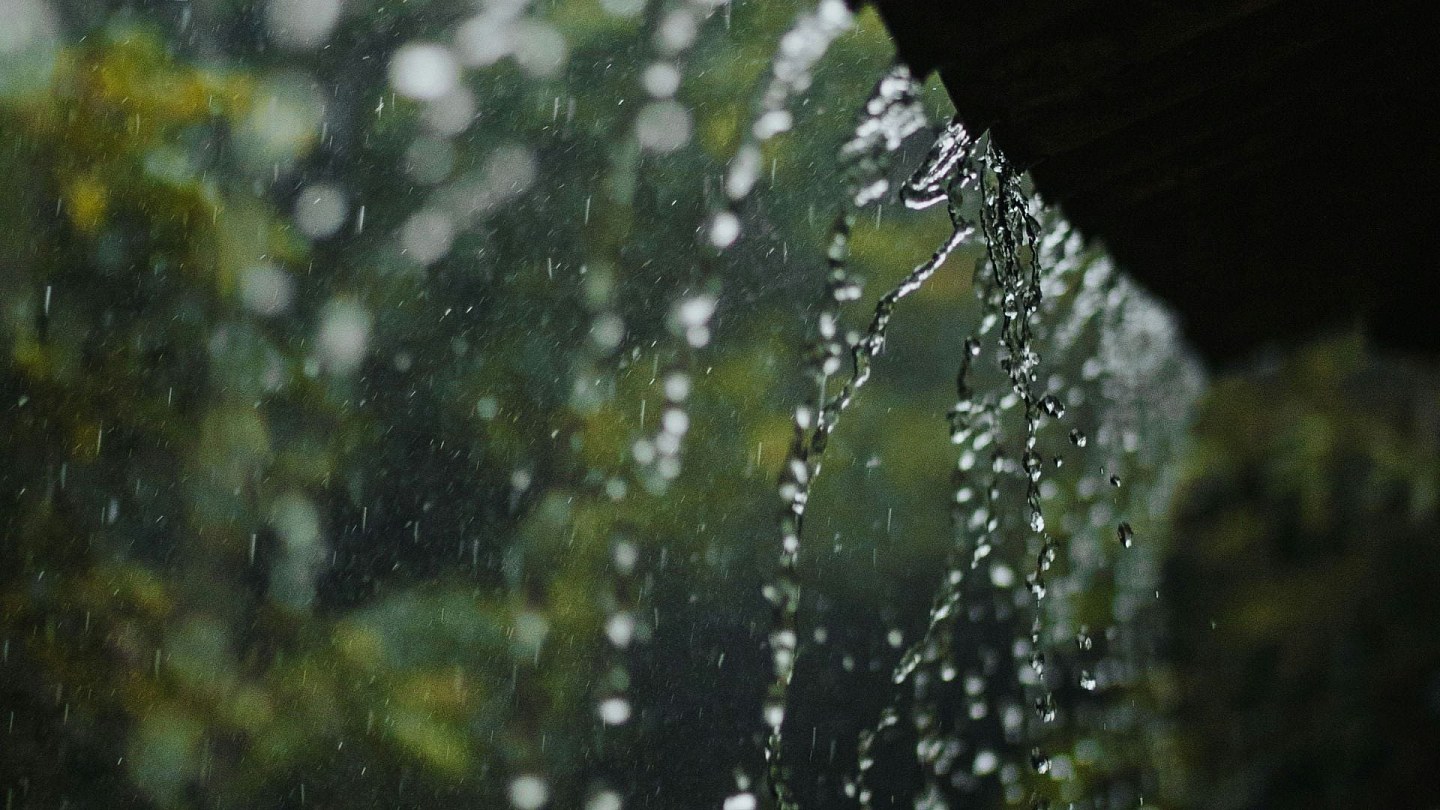

The passage of a cold front keeps the weather unstable in the South Region during the weekend and causes changes in weather conditions in São Paulo on Sunday (12).
The system also favors rain showers in areas of Mato Grosso do Sul and Mato Grosso, while the interior of the Northeast and part of Central Brazil remain under the influence of dry air.
Check out the complete weather forecast by region:
South continues with warning for heavy rain and storms
This Saturday (11), the cold front, associated with a low pressure system and a trough in the middle levels of the atmosphere, keeps rain in areas of Rio Grande do Sul, Santa Catarina and Paraná.
There is a forecast of showers of moderate to strong intensity, with a risk of storms in the north of Rio Grande do Sul and west of Santa Catarina. There is also a possibility of hail in the extreme northwest of Rio Grande do Sul, west of Santa Catarina and west and southwest of Paraná.
Throughout the afternoon, the rain gains strength in Paraná and loses intensity in parts of Rio Grande do Sul and Santa Catarina, although showers accompanied by thunderstorms still occur. Wind gusts can vary between 40 km/h and 50 km/h in Paraná, reaching 70 km/h in the northeast of the state and in the Metropolitan Region of Curitiba.
On Sunday (12), the cold front continues to act over the region. The rain remains between the coast of Rio Grande do Sul, Santa Catarina and Paraná during the morning. Throughout the day, instabilities decrease and a new mass of polar air stabilizes the weather in part of Rio Grande do Sul, maintaining lower temperatures. The sea remains rough along the entire coastal strip.
Cold front arrives in São Paulo on Sunday
In the Southeast, Saturday will be firm weather in most of the region. Between late afternoon and evening, the approach of the cold front causes rain in the south of São Paulo.
On Sunday, the system advances and causes changes in weather conditions in São Paulo. The rain hits the capital, the coast, the Paraíba Valley, the west, the interior and other regions of the state, with showers accompanied by thunderstorms expected. There is a risk of storms in Baixada Santista.
Between the afternoon and evening, instability reaches the south of the state of Rio de Janeiro and the Metropolitan Region of the capital of Rio de Janeiro. In other areas of the Southeast, the weather remains firm. Temperatures decrease in São Paulo, in the south of Minas Gerais and in the south of Rio de Janeiro.
Relative air humidity remains low in Minas Gerais and western Espírito Santo.
- See first-hand everything about agriculture, livestock, economy and weather forecast: follow Canal Rural on Google News!
Central-West will have rain in Mato Grosso do Sul and Mato Grosso
On Saturday, the cold front causes rain showers in the south, southwest and west of Mato Grosso do Sul, with the possibility of thunderstorms in the south of the state. There is also rain forecast in the southwest of Mato Grosso and isolated showers in the north of the state.
On Sunday, instability advances through Mato Grosso do Sul and affects other areas of the state. In Mato Grosso, rain increases in the west, northwest, central-west and north regions, with the possibility of isolated storms in the northwest.
In Goiás and the Federal District, the weather remains dry throughout the weekend, with low relative humidity and a risk of fires.
The interior of the Northeast remains under the influence of dry air
The rain loses intensity in the Northeast region during the weekend.
On Saturday, precipitation is forecast between the coast of Rio Grande do Norte, Paraíba and Pernambuco, as well as areas on the coast of Maranhão, Piauí, Ceará and southern Bahia.
On Sunday, the rain is concentrated between the coast of Paraíba and Rio Grande do Norte. In the rest of the region, dry weather predominates, mainly in the interior of Bahia, Piauí and Maranhão.
North maintains rain showers
In the North Region, the combination of heat, humidity and the action of the Intertropical Convergence Zone (ZCIT) maintains rain showers during the weekend.
On Saturday, instability will affect Amazonas, Acre, Rondônia, Roraima, Amapá and areas of Pará, with the possibility of storms in the north of Amazonas and south of Roraima.
On Sunday, the rain continues over Amazonas, Acre, Rondônia and southwestern Pará, with a risk of storms in western Amazonas and the central zone of Rondônia. Tocantins continues with firm weather and low humidity.
Capitals will change over the weekend
In the city of São Paulo, Saturday will be dry, with a maximum of 27°C. On Sunday, rain may occur from early morning, accompanied by gusts between 50 km/h and 70 km/h, and the maximum temperature should not exceed 21°C.
In Porto Alegre, rain occurs on both days, with a maximum of 18°C on Saturday and 16°C on Sunday.
Curitiba will have rain showers on Saturday and gradual improvement on Sunday, while Campo Grande will see increased instability on Sunday.
In Rio de Janeiro and Belo Horizonte, Saturday will be firm weather. The capital of Rio de Janeiro could record rain between Sunday afternoon and evening, while Belo Horizonte continues with no precipitation forecast.
The post Cold front keeps storms in the South and changes the weather in São Paulo over the weekend appeared first on Canal Rural.
Source:
Canal Rural


