Photo: Marcello Casal Jr./Agência Brasil
Cold front causes heavy rain and heat hits part of the country; see the weather forecast for the weekend
Photo: Marcello Casal Jr./Agência Brasil The weekend will be marked by heavy rain and the risk of storms in areas of the South and Southeast, while intense heat, dry weather and low humidity continue to prevail in much of the Central-West...
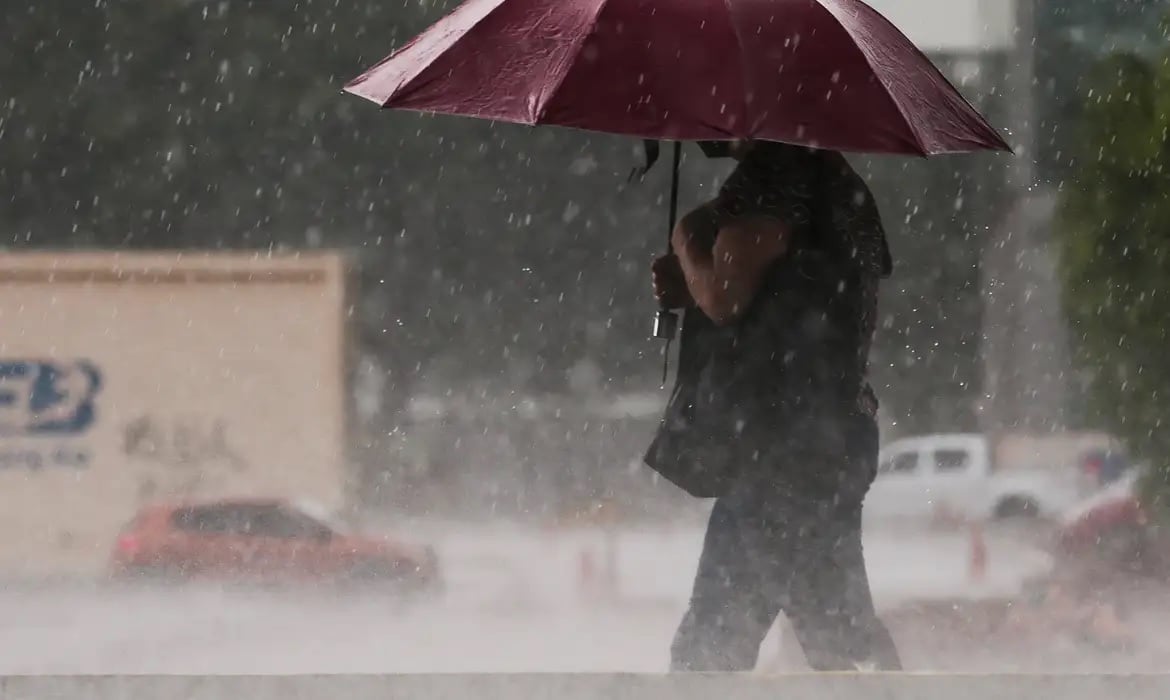
On Saturday (15), the rain still persists in part of the South and advances over areas of Rio de Janeiro, Espírito Santo and eastern Minas Gerais. On Sunday (16), the weather becomes firmer again in Paraná and São Paulo, but new instabilities hit Rio Grande do Sul.
- The Central-West and much of the interior of the Northeast remain under the influence of a mass of hot and dry air, with high temperatures and humidity at critical levels.
- South Friday (14) Friday starts with unstable weather in much of the region.
Editorial reading aid based only on information contained in this story and its identified source.
The weekend will be marked by heavy rain and the risk of storms in areas of the South and Southeast, while intense heat, dry weather and low humidity continue to prevail in much of the Central-West and interior of the country. This Friday (14), the passage of a cold front changes the weather mainly between Paraná, Santa Catarina and the east of São Paulo, with instability advancing throughout the day.
On Saturday (15), the rain still persists in part of the South and advances over areas of Rio de Janeiro, Espírito Santo and eastern Minas Gerais. On Sunday (16), the weather becomes firmer again in Paraná and São Paulo, but new instabilities hit Rio Grande do Sul. The Central-West and much of the interior of the Northeast remain under the influence of a mass of hot and dry air, with high temperatures and humidity at critical levels.
South
Friday (14)
Friday starts with unstable weather in much of the region. Moderate to heavy rain is forecast from the early hours in the east and on the coast of Paraná, Santa Catarina and Rio Grande do Sul.
Throughout the day, instability spreads across Paraná and Santa Catarina, as well as the north and coast of Rio Grande do Sul. There is a risk of storms in the center-south and east of Paraná, in Santa Catarina and in the north of Rio Grande do Sul. In the south of Santa Catarina and in parts of the interior, rainfall may be high.
In other areas of Rio Grande do Sul, the weather remains firmer, with the possibility of only light and isolated rain in the south and southeast. The sea remains rough on the coast.
Saturday (15)
The instability continues mainly in the center-south of Paraná and the eastern half and coast of Santa Catarina, with moderate to heavy rain, thunderstorms and the risk of isolated thunderstorms.
In Rio Grande do Sul, the rain is losing strength, but showers may still occur in the north, northeast, Serra, Vales, Costa Doce, coast and Metropolitan Region of Porto Alegre. Until tonight, new instabilities could reach the southwest, west and center of Rio Grande do Sul.
Wind gusts can reach 70 km/h on the coast of Rio Grande do Sul, and the sea remains rough.
Sunday (16)
A mid-level trough associated with a low pressure area maintains conditions for moderate to heavy rain in the center-south and eastern half of Rio Grande do Sul from the early hours, with thunderstorms and the risk of storms.
The rain loses strength throughout the day, but still persists in the south and coast of Rio Grande do Sul. In Santa Catarina, maritime humidity favors rain on the coast. In Paraná, on the other hand, the weather becomes more stable.
Southeast
A predominantly oceanic cold front advances through the Southeast and changes the weather mainly in the eastern region. In São Paulo, the rain begins in the Ribeira Valley, south coast and Baixada Santista and then advances to Greater São Paulo, the North Coast, east of São Paulo and points in the interior.
In Minas Gerais, the weather remains predominantly firm, hot and dry, but the south of Minas and Zona da Mata may experience increased cloudiness and rain. In Rio de Janeiro, the change occurs mainly between the afternoon and evening, with the possibility of moderate to heavy rain. There are also forecasts of showers in the south of Espírito Santo.
Relative air humidity can reach levels between 12% and 20% in areas of the Triângulo Mineiro, while wind gusts can vary between 50 and 70 km/h in the west and center of São Paulo.
After the passage of the cold front, there is still the possibility of light to moderate rain in the south, coast and east of São Paulo and in the Metropolitan Region of São Paulo, especially during the early hours and morning.
In Rio de Janeiro, rain increases in the south and on the coast, with the possibility of moderate to heavy volumes and the risk of storms in the center and north of the state. Espírito Santo, Zona da Mata and eastern Minas Gerais may also experience instability.
Inland, the heat continues and humidity remains low, especially in the Triângulo Mineiro, where rates can vary between 12% and 20%.
The weather becomes firmer again in São Paulo, with a reduction in rain and an increase in temperatures, especially in the interior. In the capital and in the east of São Paulo, cloudiness remains higher.
In Rio de Janeiro, maritime humidity keeps the sky cloudier and can cause rain, especially in the center-north. Espírito Santo may record moderate to heavy rain in the center-south.
In Minas Gerais, there is a possibility of occasional rain in Zona da Mata, Vale do Rio Doce and Vale do Jequitinhonha. In the interior of Minas Gerais, especially in the Triângulo, Sunday will be hotter and drier.
Midwest
The dry air mass maintains the predominance of sun, high temperatures and low humidity in Goiás, Federal District, a large part of Mato Grosso and the north and east of Mato Grosso do Sul.
During the summer, temperatures can be between 3°C and 5°C above the climatological average in some areas. During the afternoon and night, however, there is a possibility of moderate and occasionally heavy rain in the south and southwest of Mato Grosso do Sul.
There are also conditions for rain in the west and northwest of Mato Grosso, especially near the borders with Rondônia, Amazonas and Bolivia.
Dry weather, sun and heat continue to prevail in Mato Grosso, Goiás, Distrito Federal and Mato Grosso do Sul. In some parts of Mato Grosso, maximum temperatures can approach 40°C.
Relative air humidity can vary between 12% and 20% in the east of Mato Grosso, the western half of Goiás and the north of Mato Grosso do Sul, increasing the risk of fires.
The mass of hot, dry air keeps the weather steady and practically rainless across the region. The summer continues to affect Mato Grosso, Goiás, Distrito Federal and Mato Grosso do Sul.
The highlight remains the heat and low humidity, with an increased risk of fires and fires and greater drying out of vegetation. Campo Grande, Cuiabá and Brasília will also have high temperatures.
Northeast
Instabilities decrease, but the circulation of maritime humidity still favors moderate to heavy rain on the coast of Sergipe and light rain on the coastal strips