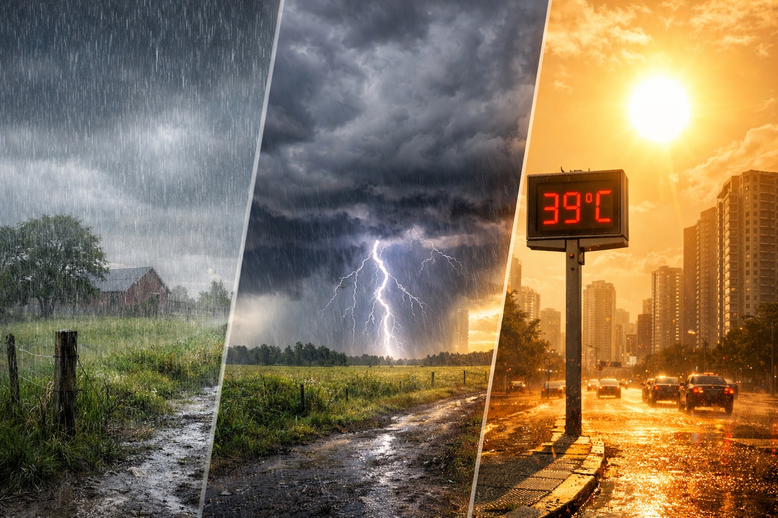
Thursday (13) will be marked by strong contrasts in weather across Brazil. While the South Region remains at risk of storms and high rainfall accumulations, areas of the Central-West, Southeast, Northeast and North face heat and low levels of relative humidity.
Cold front, heavy rain and summer change the weather in regions of the country
Thursday (13) will be marked by strong contrasts in weather across Brazil. While the South Region remains at risk of storms and high rainfall accumulations, areas of the Central-West, Southeast, Northeast and North face heat and low levels...
See first-hand everything about agriculture, livestock, the economy and weather forecast: follow Canal Rural on Google News! In the South, instability gains strength mainly between Rio Grande do Sul and Santa Catarina.
- In the Central-West, the summer keeps temperatures above average and increases concerns about low humidity and the risk of fires.
- South The South Region remains under the influence of areas of instability associated with the action of a trough at medium levels of the atmosphere and jets at high levels.
Editorial reading aid based only on information contained in this story and its identified source.
See first-hand everything about agriculture, livestock, the economy and weather forecast: follow Canal Rural on Google News!
In the South, instability gains strength mainly between Rio Grande do Sul and Santa Catarina. In the Central-West, the summer keeps temperatures above average and increases concerns about low humidity and the risk of fires.
South
The South Region remains under the influence of areas of instability associated with the action of a trough at medium levels of the atmosphere and jets at high levels. A cold front advancing offshore also reinforces instability in some points.
The rain affects practically all of Rio Grande do Sul and the south of Santa Catarina from the early hours of the day, with attention mainly to the Metropolitan Region of Porto Alegre and the west of Rio Grande do Sul, where there is a risk of heavy rain and storms.
In the morning, instability reached a large part of the state of Rio Grande do Sul and Santa Catarina, as well as the extreme southwest of Paraná. Rain may occur with strong intensity and thunderstorms, especially in the northern half of Rio Grande do Sul and in the south and central-east of Santa Catarina.
In areas of Campanha and southeastern Rio Grande do Sul, instability is losing strength, while the weather improves in the southwest of the state.
Throughout the day, the rain gains intensity again in Santa Catarina, in the north, Serra, northeast and coast of Rio Grande do Sul, in the Metropolitan Region of Porto Alegre and in areas of the south, coast and west of Paraná.
Between the south of Santa Catarina and the northeast of Rio Grande do Sul, there is the possibility of heavy accumulations of rain, with a dangerous condition this Thursday. Instabilities are still expected to persist until the end of the day, mainly in Santa Catarina and in the south and center of Paraná.
Temperatures remain mild in much of the region, while north-central Paraná records greater warming. The sea remains rough, and wind gusts can vary between 50 and 70 km/h on the middle coast of Rio Grande do Sul.
Southeast
In the Southeast, the change in winds to the north and northwest favors an increase in temperatures and reduces the cold sensation recorded at the beginning of the week.
The south and east of São Paulo and Rio de Janeiro may still start the day with greater cloudiness. Over the hours, however, drier weather and progressive warming prevail, especially in the interior.
In the south and coast of São Paulo and in the coastal strip of Rio de Janeiro, the circulation of maritime humidity can still cause light and isolated rain. The South of Minas also has the possibility of occasional rain in the afternoon.
Low humidity remains a point of attention in the north and central zone of São Paulo, in the Triângulo Mineiro and in the west and northwest of Minas Gerais. The rates can vary between 20% and 30%.
Midwest
Dry weather continues to prevail in Mato Grosso, Goiás, the Federal District and a large part of Mato Grosso do Sul. The circulation of winds from the north and northwest favors warming, and temperatures rise with the greater presence of sun.
Relative air humidity can vary between 20% and 30% in central areas of Mato Grosso and Goiás. In other areas of these two states and in the north of Mato Grosso do Sul, the rates are between 21% and 30%.
The summer also continues to affect the region, with temperatures that can reach up to 3°C above the climatological average. The combination of heat and dry air increases health risks and favors the occurrence of fires.
Despite the predominance of firm weather, the south and southwest of Mato Grosso do Sul may experience light to moderate rain and thunderstorms in the afternoon. In the west of Mato Grosso, close to the border with Rondônia, there is also the possibility of isolated rain and lightning.
Northeast
In the Northeast, the highlight is the advance of the frontal system along the coast of Bahia. This Thursday, the system reaches the northern coast of Bahia, Sergipe and areas of southern Alagoas, causing moderate to heavy rain, gusts of wind and the risk of thunderstorms.
Salvador and Recôncavo Baiano continue to be influenced by maritime and coastal humidity, but with weaker rain forecast.
In the interior of Bahia, Piauí, Maranhão and nearby areas, the scenario is different, with a predominance of dry air, heat and low humidity. Rates can vary between 20% and 30% in the center-west of Bahia, in a large part of Maranhão, Piauí and Ceará, in addition to the western half of Paraíba and Rio Grande do Norte.
North
In the North Region, the most intense rains are concentrated in the west and north of Amazonas and in Roraima, where moderate to strong showers and isolated thunderstorms may occur.
There is also a forecast of moderate to heavy rain in parts of the northwest of Pará, the interior of Rondônia and the coast of Amapá.
In other areas, the weather remains firm, with high temperatures in the afternoon and a feeling of stuffiness. Relative air humidity is low mainly in Tocantins and in the south and southeast of Pará, with rates between 20% and 30%.
The post Cold front, heavy rain and summer change the weather in regions of the country appeared first on Canal Rural.